Posts

Gaia x GTFO = Discounted GPS!

gaiagps

Hopping through Holbrook

Image
Holbrook, Arizona.  "Where's that?" seems to be the most common response to hearing the name of this city.  "It's in Navajo County.". [glazed look, feigning knowledge not wanting to belie more ignorance] "You know, you pass through it on the way to the Petrified Forest if you're taking the west entrance."  "Oh, ok," says the person who stopped being interested between 'Holbrook' and 'Arizona.' But, look, Holbrook has the only Popeye's Chicken in Navajo County, so take note. Ok, Holbrook.  Honestly, not a place to stay the night unless you're on a long trip and this happens to be where you are at dark.  But if you find yourself passing through it's not so bad and, depending on where you're coming from in city frame-of-reference, can be a refreshing experience.

Get Started with Backpacking

Image
I've written before about car camping , and now that you're an expert car camper (or want to skip a step) you want to try backpacking.  I have to say, other than climbing, no outdoor activity seemed as daunting to me as backpacking.  But now that I have been once, which definitely qualifies me to write about it, it's clear that backpacking can be pretty easy and fun.  This post is to help get you over the initial hurdles that might keep you from trying; it's not to teach you how to backpack, but I will include some links at the end with helpful info. 

1, 2, 3, 4, I declare a Thumb (Butte) War

Image
If there is one defining image of the Prescott landscape, it is the jutting Thumb Butte that watches over town and provides a beautiful foreground for sunsets (as well as an amazing vantage point from which to watch sunsets).  Like most of the Prescott wild, Thumb Butte is very accessible and crisscrossed with hiking and biking trails.  While this is the most obvious, and perhaps easily accessed trail, it can still provide a great workout as the main trial has over 500' in total elevation gain in its 2-mile round-trip loop.

Four Corners Road Trip (and more!)

Image
Recently my family visited from Virginia and wanted to see more of Arizona than we've explored in the past.  Over the course of several weeks of planning they devised a route to take us through practically everything a person could want to see in Arizona.  Or, at least in Northern Arizona.  Seven of us piled into a rented Yukon and drove over 1,000 miles in the next four days.  Those miles took us through four states, multiple National Parks/Forest, the Navajo Reservation, and a Sonic drive-in.

Wandering the Munds Mountain Wilderness

Image
This weekend I decided to escape to Sedona for an invigorating hike alone in the serene beauty of the red rocks.  Before leaving I jumped on AllTrails.com to pick a destination, with length and novelty being a priority.  The trail listed as "Schnebly Hill Trail to Seven Sacred Pools," coming in at a lengthy 13 miles sounded like a winner.  Because, really, who can say no to not one, not two, but SEVEN SACRED POOLS??!!  I had never been there, but luckily the AllTrails app included Google Maps coordinates so I expected to be able to navigate from point A to point B with ease. 

Smith Ravine Trail in Pictures

Image

Eating through Kingman - El Palacio

Image
El Palacio, one of many indistinguishingly named Mexican restaurants in Kingman, doesn't get a lot of love on Yelp.  I mean, they have about 3.5 stars, but by Yelp terms that is a rousing "meh."  I have passed over meals here several times for that reason precisely.  Tonight, however, I screwed around downtown for long enough that I was starving and it was the closest thing nearby that I hadn't tried yet.

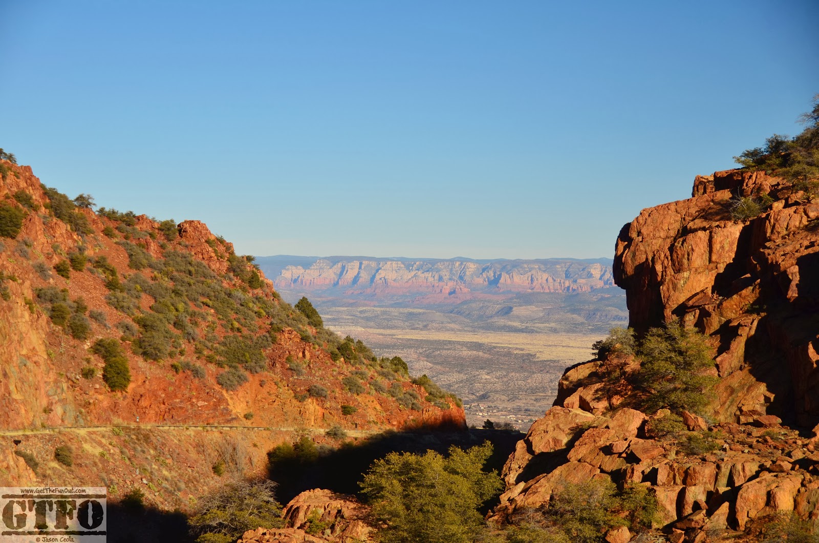
Jerome in Pictures

Image
 

Gaia x GTFO = Discounted GPS!

gaiagps