Wet Beaver Creek - A Cool Place to Get Wet!
  |
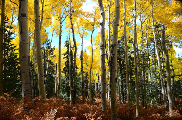
| Wet Beaver Creek, a good summer destination. |
It pretty much goes without saying that Wet Beaver Creek is far more popular than Dry Beaver Creek, but no one knows for sure if the 'Dry Beaver' name is a smokescreen, like 'Iceland,' to throw lazy travelers off the scent of boundless joy. Well, maybe that's a bit extreme, I'm sure someone knows the answer, but when the Wet Beaver is so nice, there's really no reason to thrust yourself into the wilderness of Dry Beaver.
Getting to Wet Beaver Creek is pretty easy, if you know what you're doing. Off the Sedona exit on the I-17, head east away from Sedona for a mile or two before turning left (north) onto a little side road that heads to the parking lot. If you get to the Wet Beaver Creek Campground, you've gone too far. Annoyingly, there are sporadic signs for the Wet Beaver Creek trailhead, but not an actual sign indicating "hey, turn here for that trailhead we've been telling you about." That has lead to me driving back and forth and back and forth for many frustrated minutes looking for the turn. The Forest Service website can help you get to the correct place (as well as provide current information regarding the trail and wilderness area).

This inauspicious hike doesn't look like much for probably 99% of the hike. Generally, it starts in the high-desert surrounding Sedona and continues through rolling ridges and valleys before turning up hill for a fairly short climb. In at least two places the trail forks, stay to the left in those instances. Both times seem like they should be a bad decision - the first takes you uphill, and the second steers you away from water...but trust me, it's worth it. The hike isn't overly scenic, especially considering Sedona is about 30 minutes away; it's not overly taxing even with the final uphill push; and for a while you might wonder what all the fuss is about. After your previous ascent levels off and you go back downhill, the water comes into view, and that, my friend, is why you're here. Only, not for the first pool you see...keep walking a little bit until you spy the above-pictures cliffs and swimming hole.
Be prepared for a breath-taking experience! If not from jumping off 20-30 foot heights, then definitely from the frigid, snow-melt water! Seriously, it is cold. But it's also just what is needed after the 3.3 mile hike in. Especially if, like me, you made the hike on a 93 degree afternoon. Be smart about jumping in, give a look to make sure there is no debris and, as best you can, see if the water level is dramatically lowered. Also, jump into the dark areas of water, that should indicate the deepest parts of the pools.
My best tip is to spend as much time in the water as possible and hike out immediately after getting out. I spent 30-45 minutes in the water cooling my body to the point that my joints hurt when I got out...but there has never been a more comfortable human making a 3.3 mile hike out of the wilderness in 90 degree temperatures. I don't think I even broke a sweat on the hike out. Give yourself 2-2.5 hours for the hike itself, plus whatever time you spend in the water. From Scottsdale, travel is about 1.5 hours one-way.
Assorted information: no parking permit/fee necessary; don't park in the roundabout in the parking lot; parking is somewhat limited so you may need to park somewhere and walk in; take plenty of water! - I drank about 2 liters on the hike and that still probably wasn't enough; I believe there were restrooms at the trailhead; Camp Verde is close by for all your refueling needs (car and body).
Enjoy the hike!!